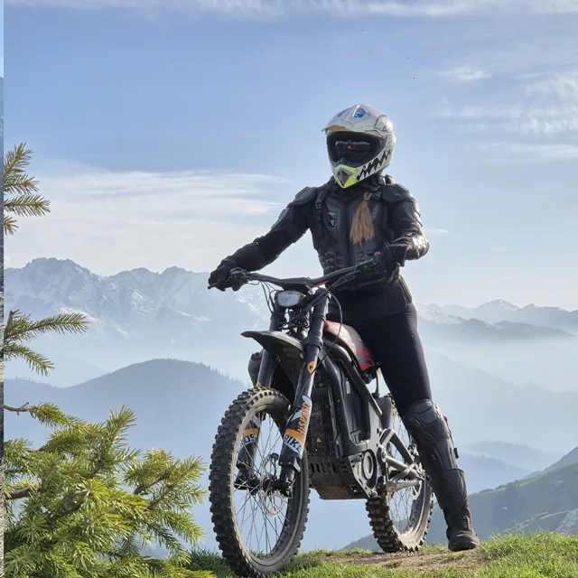
Kok-Zhailau (also spelled Kok-Zhailau, Kokzhailau, Көк Жайлау in Kazakh) is a highland meadow in Ile-Alatau National Park between the Small and Big Almaty gorges, about 10 km from the city. The name means "green pasture". Most people hike up from the Prosveshchenets stop: about 5 km and 600 m of climbing, 2-3 hours up. At the top an open plateau looks over all of Almaty, with a small waterfall higher up the slope. Cars don't go up to the plateau, so the choice is simple: walk, or ride up with a guide on an e-bike.
In short
- The meadow is at about 2,200 metres above sea level.
- Bus 12 runs along Dostyk Avenue to the Prosveshchenets trailhead, 30-40 minutes from the centre. A taxi is roughly 2,000-3,000 tenge.
- There is no eco fee on the Prosveshchenets entrance.
- The climb takes 2-3 hours, the descent 1.5-2 hours.
- You can't drive onto the plateau, only walk or ride up with a guide on an e-bike.
- The Kok-Zhailau tour climbs in 30-40 minutes and costs 30,000 tenge.
Getting there and where to start
The most popular trail starts at Prosveshchenets (the stop is also called Ak-Bulak). It is well trodden and signposted, hard to get lost on. That is the 5 km with 600 m of climbing, 2-3 hours up.
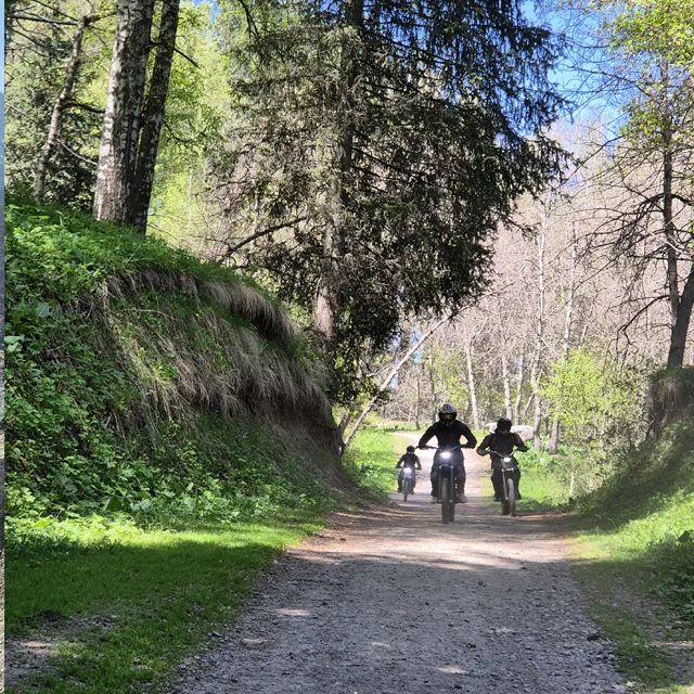 Trailhead from Prosveshchenets: climbing through birch trees and Tian Shan spruce
A second way goes through the Kazachka ravine: about 6 km with the same climb, but slower, 2.5-3.5 hours. For a loop, go up one trail and come back via the Kamenskoe plateau, about 12 km and 5-6 hours in total.
What's at the top
The plateau is open, with a view over all of Almaty. About 15-20 minutes above the main meadow there is a small waterfall with chains fixed on the rock. Spring brings flowers and the most water; in September and October the grass turns gold and the trail is quieter.
 Open Kok-Zhailau plateau at 2,200 m: city panorama below, Kumbel cliffs above
Check the forecast. It can be hot in the city while the plateau is windy and noticeably colder by evening. There is almost no shade on the open slope, so in summer start early and carry water.
Faster on an e-bike
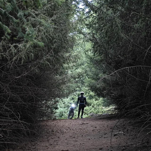
On the Kok-Zhailau tour the climb takes 30-40 minutes instead of 2-3 hours on foot, leaving time for photos and a break. It is a beginner route: we teach you before the start and give you a helmet and body armour. Want more? There is a continuation to the meteo station and the Kok-Zhailau ridge.
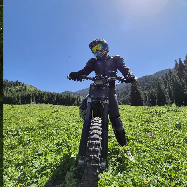 Ascending to Kok-Zhailau plateau on Sur-Ron and Arctic Leopard electric bikes in 35 minutes
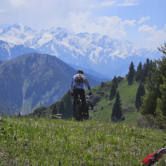 The ridge above Kok-Zhailau: an extended route for riders seeking higher altitude views
The same slope looks very different in winter. Snow depth can change within days, so a photograph never replaces a route check before departure.
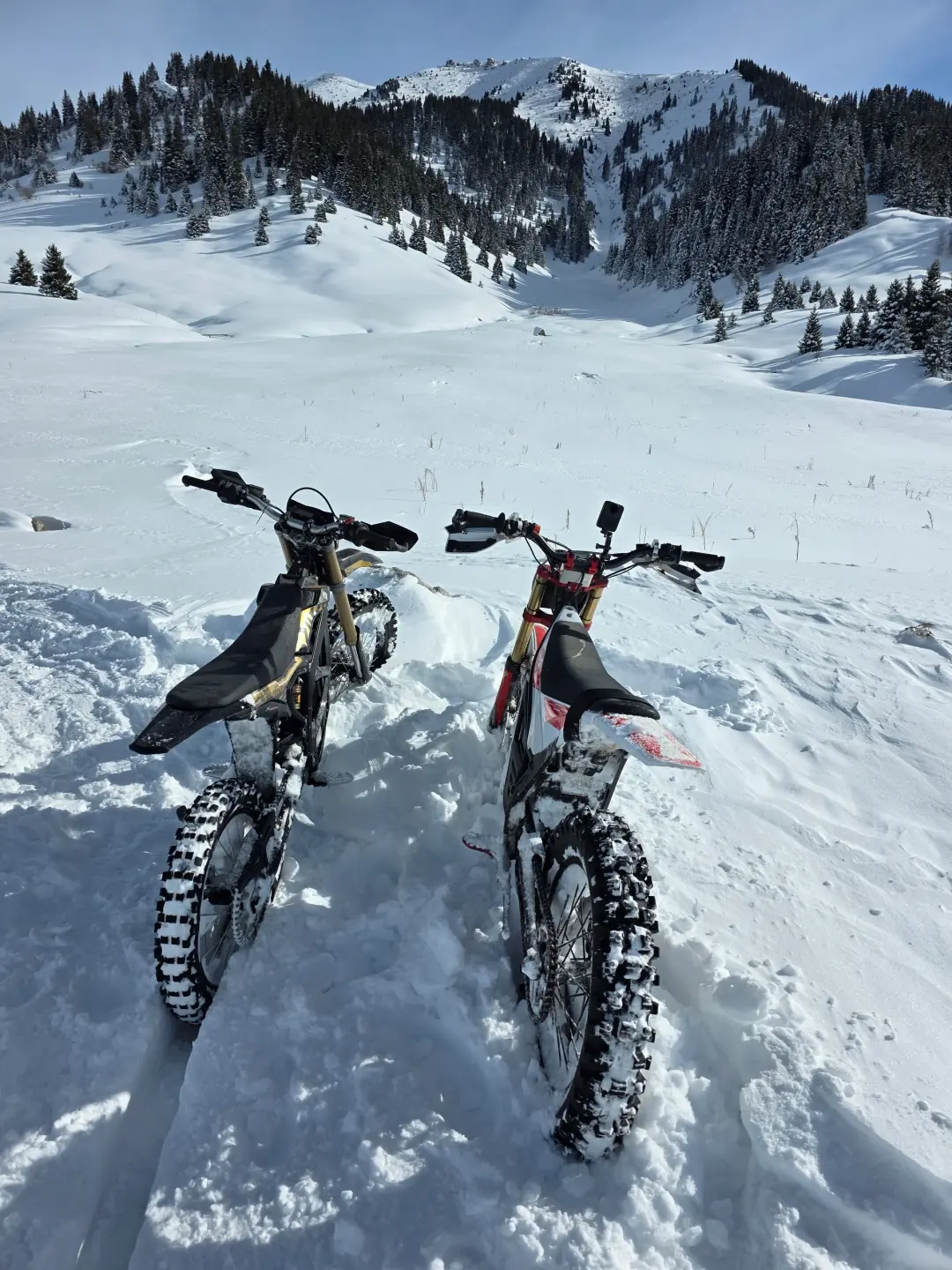 A winter ride on 15 February 2026; the snow conditions apply only to that day
In autumn the open ridge loses its green colour, but the gradient and trail line become easier to read.
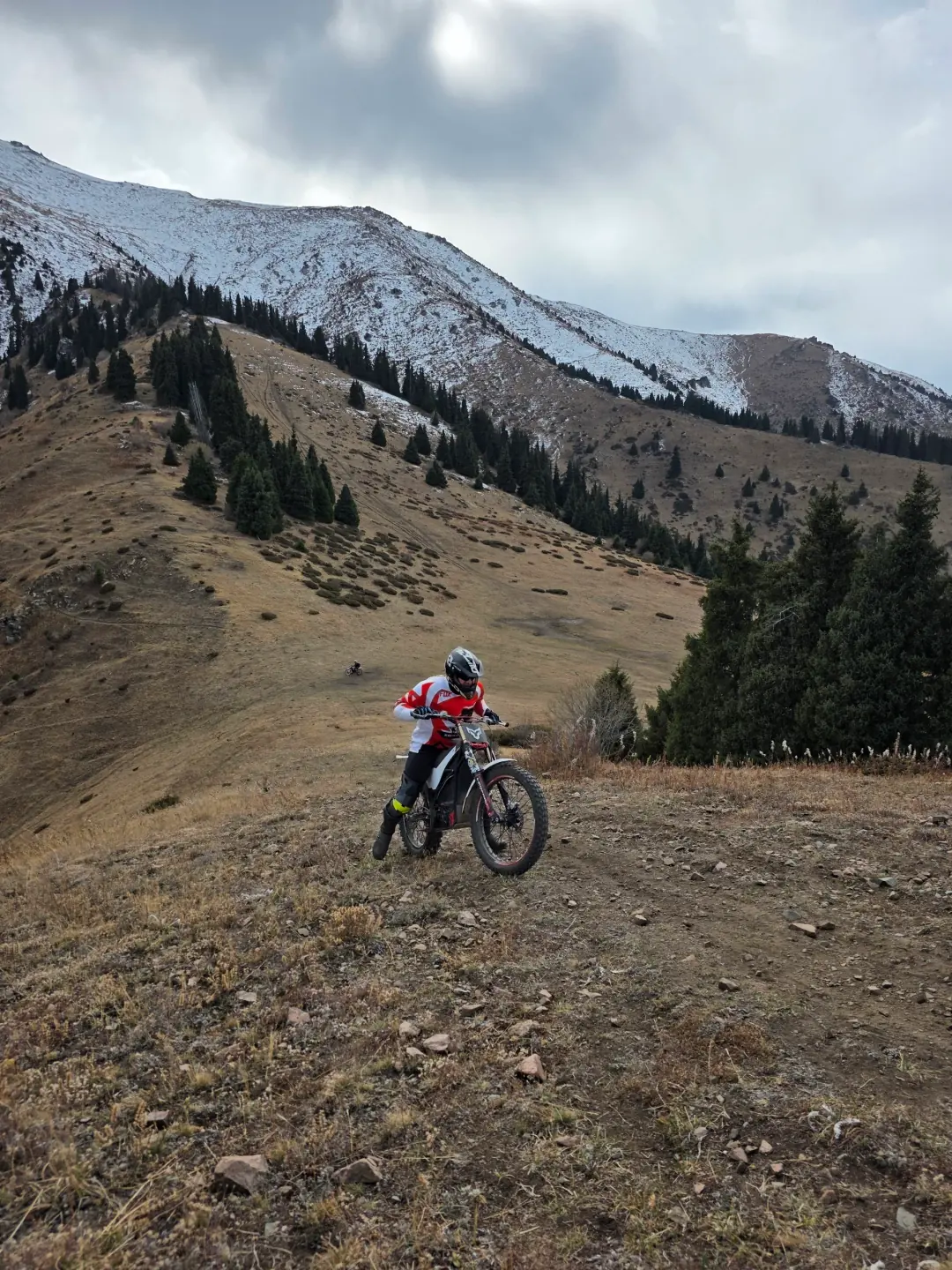 A dry, rocky autumn climb on 25 October 2025
FAQ
How high is Kok-Zhailau? About 2,200 metres above sea level. The Prosveshchenets trailhead is roughly 600 metres lower.
How do I get to Kok-Zhailau by bus? Take bus 12 along Dostyk Avenue to the Prosveshchenets stop, 30-40 minutes from the centre. The trail starts there.
How long is the hike? From Prosveshchenets about 5 km, 2-3 hours up and 1.5-2 hours down. Via the Kazachka ravine about 6 km and 2.5-3.5 hours up.
Can you drive to Kok-Zhailau? No. It is a national park with no road onto the plateau. Leave the car at the trailhead and walk, or ride up with us on an e-bike.
When is the best time to go? April to October. Spring has flowers and a full waterfall, summer is warm but busy, September and October are quieter with longer views. In winter the trail is under snow.