In Almaty, "the circuit" is the hike after which you look at the mountains from your window differently. In the morning you board the cable car at Shymbulak, and three or four days later you walk out to the turquoise water of Big Almaty Lake. There isn't a single road between those two points. Only the Left Talgar gorge, a glacier and Tourist Pass at almost four kilometres up.
Next to the circuit there are easier places. The Mynzhylky plateau, often spelled "Manzhilki" in searches, is half a day from Shymbulak. Wolf Mountain sits at the mouth of the Big Almaty Gorge. And Big Almaty Peak is the pyramid you can see from almost anywhere in the city.
In short
- The circuit: about 46 km and 3,000 m of climbing, 3-4 days. Start at Shymbulak, finish at Big Almaty Lake.
- The high point: Tourist Pass, 3,981 m, with snow and ice even in summer.
- Season: mid-June to the end of August. In May and early June there's deep snow on the approach to the pass.
- Mynzhylky: a plateau at 3,000 m above Shymbulak, about 6 km and 2 hours up.
- Wolf Mountain: 2,305 m, about 8.5 km and 4 hours.
- Ozerny Pass, 3,520 m, is on the border with Kyrgyzstan. You can't cross without a special permit.
- By electric bike: the circuit in 2 days, Left Talgar, Mynzhylky dam.
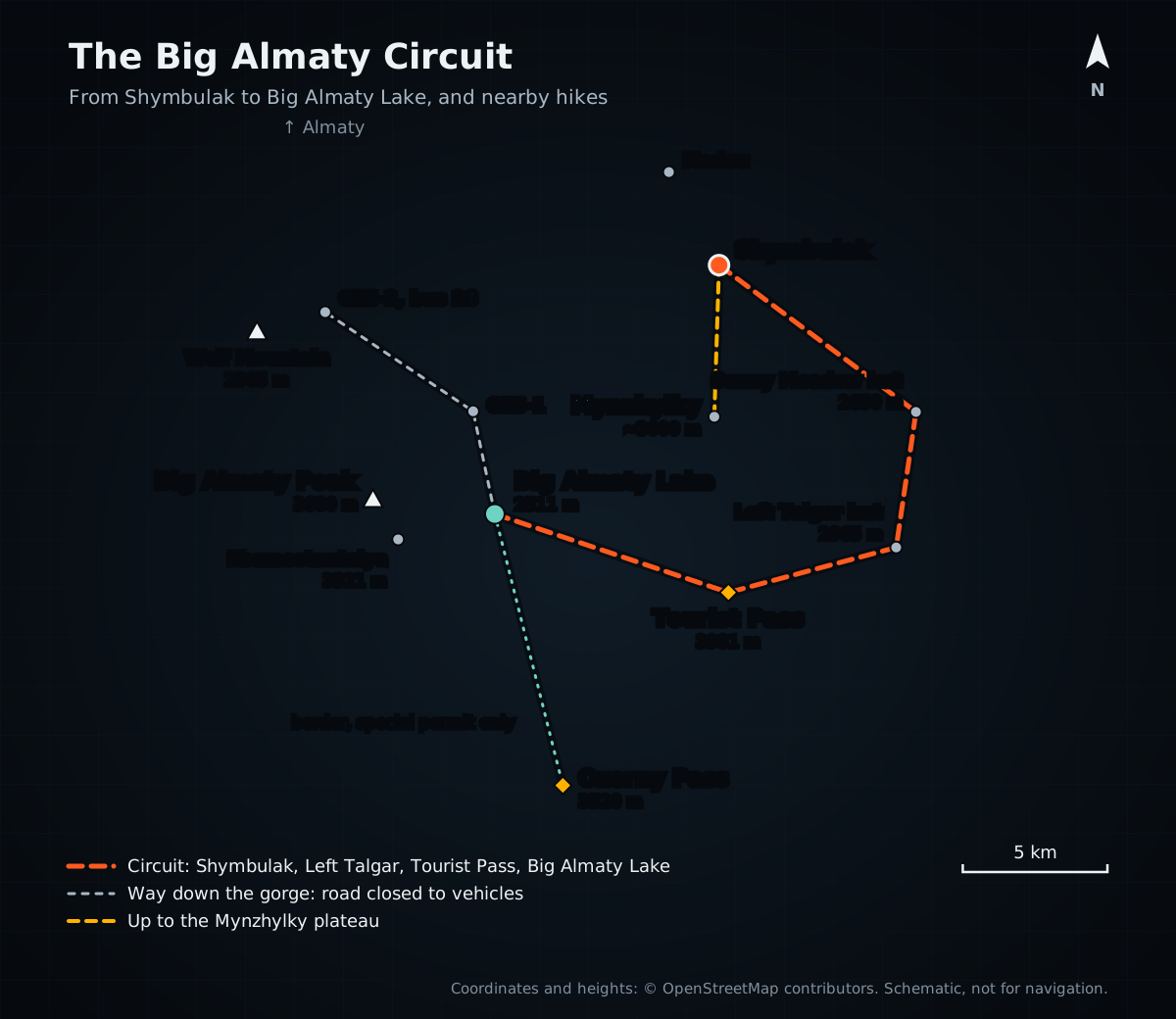 Map: the circuit from Shymbulak via Left Talgar and Tourist Pass to Big Almaty Lake, the climb to Mynzhylky, Ozerny Pass and Wolf Mountain
The circuit day by day
These days most people start with the cable car at Shymbulak: the lifts take you to Talgar Pass, about 3,200 m. That saves a whole day of climbing.
Day one is almost all downhill. From the pass the trail drops into the Left Talgar gorge to Sunny Meadow, where a hut stands at 2,650 m. The centre of Almaty is less than thirty kilometres away in a straight line, yet it feels very far from any city.
Day two is the hardest. The trail climbs Left Talgar past the Left Talgar hut at 2,965 m towards Tourist Pass. The final climb is on snow and ice, there's noticeably less air up there, and everyone slows down.
Do not dismiss a headache at altitude and keep climbing. Tell your guide and stop ascending; worsening symptoms require descent and medical help. See the CDC guidance on altitude illness.
Day three is the descent to Big Almaty Lake. Arrange the exit and meeting point before you start because reception and practical access in the gorge can change. Options for a separate visit are covered in the Big Almaty Lake guide.
There's also a longer version without the cable car: from the Small Almaty Gorge over Butakovka Pass into Left Talgar.
You'll need a tent, a sleeping bag rated to minus ten, trekking boots and warm clothes for the pass. And to be honest about the risks: mudflows came down Left Talgar in 2021 and 2023. On warm days the rivers rise by midday, so cross fords in the morning. On snow there's avalanche risk.
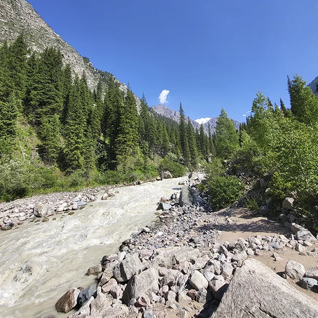 The river in the Left Talgar gorge
Mynzhylky, the "Manzhilki" of search results
The name translates from Kazakh as "a thousand mares". Apparently the plateau once had room for big herds. Mynzhylky lies at 3,000 m at the head of the Malaya Almatinka river, above Shymbulak.
From Medeu you get to Shymbulak by cable car, eco taxi or bus, or walk it in about two hours. From Shymbulak a road runs up the gorge to the plateau: about 6 km and 800-900 m of climbing, roughly 2 hours. You pass the Tuyuk-Su visitor centre, and at the top there's a mudflow dam, a weather station and a shelter to sit out the wind. The Tuyuksu glacier is visible from the road.
For many routes Mynzhylky is only the beginning. From here people head to lake number 6, known as Manshuk Mametova Lake, and to Titov and Molodezhny peaks. The weather changes in half an hour, so check the forecast even if the city is sunny.
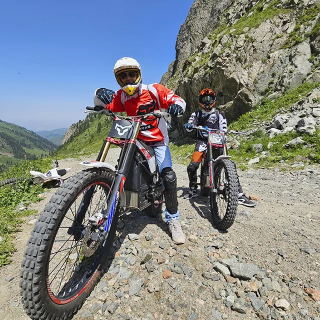 The rocky road to the dam on the Mynzhylky plateau
Short hikes right by the lake
Wolf Mountain
2,305 m. The start is at the eco post before the Big Almaty Gorge, next to the Sunkar birds of prey centre. The route is about 8.5 km with 890 m of climbing, roughly 4 hours, through mixed forest, birches and apple trees, with views of the city and the Big Almaty Gorge from the top. Skip it in spring: the ticks are out in force.
The Japanese Road
An old road on the slope above GES-2, reached by a staircase along a water pipe, about 3,000 steps. The road itself runs almost level at 1,900-1,950 m. The hike and the history are in the Japanese Road guide.
Big Almaty Peak
The 3,680 m pyramid you can see from almost anywhere in Almaty. Hikers without climbing gear use the south ridge, which takes 5-6 hours to climb. The full hike with approach and descent is over 30 km, about 2,300 m of climbing and roughly 17 hours of walking, so plan an overnight or a very long day. The Kosmostantsiya research station, 3,321 m, stands below it. It's a border area, so bring ID.
Ozerny Pass
The 3,520 m pass south of the lake sits on the border with Kyrgyzstan, and people once walked over it to Issyk-Kul. There's a border post at Big Almaty Lake, and going further is only possible with a special permit arranged in advance. Group crossings have been tried in a pilot scheme, but there's no open route to Issyk-Kul here yet.
By electric bike
The Big Almaty Circuit: two days, 100,000 tenge, difficulty 10 out of 10, August and September only. It starts beyond Big Almaty Lake, crosses the Tourist glacier to the upper Left Talgar and includes a night out in the field. No signal, no roads. It's the hardest route in our catalogue.
Left Talgar: a full day, 80,000 tenge, difficulty 9 out of 10. From Butakovka over the pass into the wild Left Talgar gorge and out at Shymbulak.
Mynzhylky dam: five hours, 40,000 tenge, difficulty 5 out of 10. From Medeu up to 3,010 m: first asphalt switchbacks, then a rocky grader road that shakes your arms numb within half an hour. Beyond the dam are Manshuk Mametova Lake and the Tuyuksu Glacier.
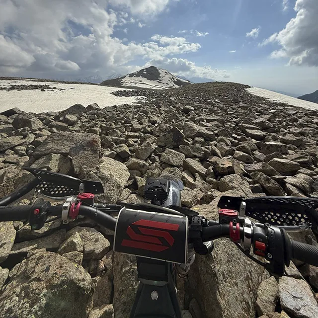
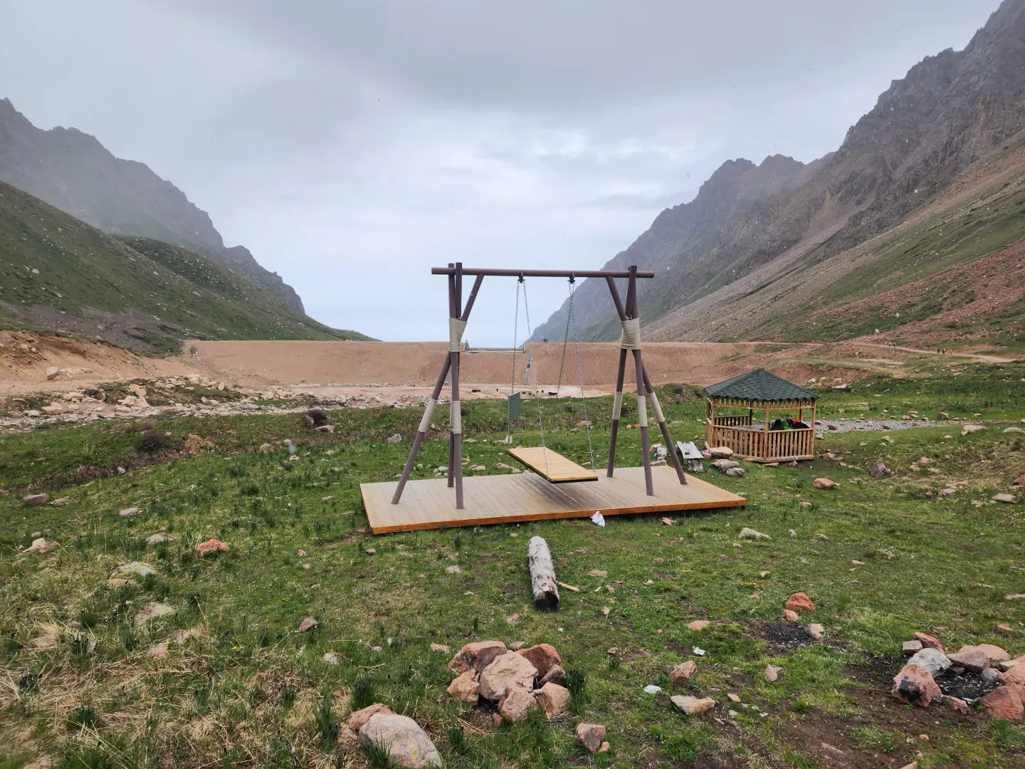 Mynzhylky on 31 May 2025; snow and road conditions can change from week to week
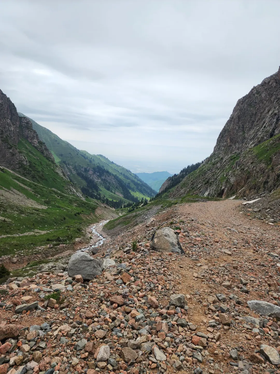 Loose rock on 31 May 2025; the real surface is harder than a clean line on a map
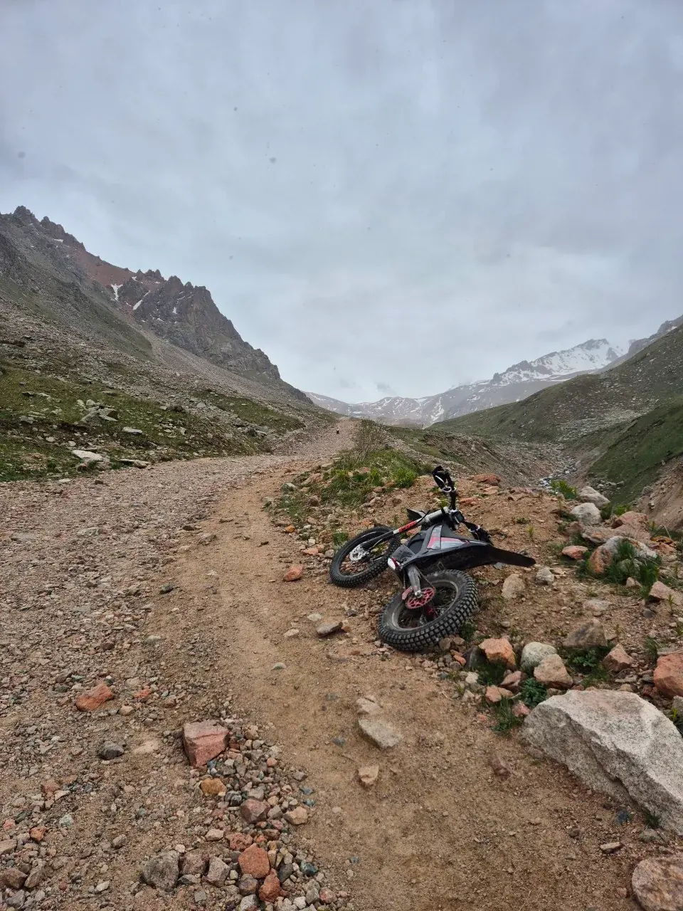 Photo from xBike rides. Exact location is unverified.
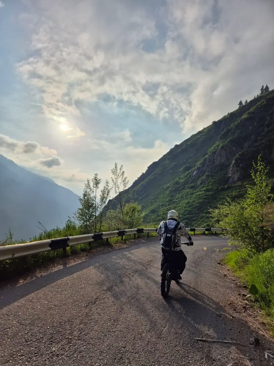 Photo from xBike rides. Exact location is unverified.
Keep in mind
Weather in the mountains above Almaty changes fast, and above three thousand metres it can snow in summer. Mudflows and high water are more likely on warm days, so cross fords early. Big Almaty Lake and Kosmostantsiya are in the border zone, don't go without ID. And check national park news: in dry heat, as in August 2025, the forest is closed for a while.
FAQ
How many days does the Big Almaty Circuit take? Usually 3-4 days. It's about 46 km with 3,000 m of climbing if you start from the Shymbulak cable car.
When is the best time to do the circuit? Mid-June to the end of August. In May and early June there's deep snow on the approach to Tourist Pass.
Where does the circuit start and finish? It starts at Shymbulak, where the cable car takes you up to Talgar Pass, and finishes at Big Almaty Lake. From the lake it's another 6-7 km on foot to the upper barrier.
How high is Tourist Pass? 3,981 m, the highest point of the circuit.
Do I need a permit for the circuit? Not for the circuit itself. But the finish at Big Almaty Lake is in the border zone, so bring an ID card or passport.
Where is "Manzhilki"? The correct name is Mynzhylky: a plateau at 3,000 m at the head of the Malaya Almatinka, above Shymbulak. About 6 km and 2 hours on foot from Shymbulak.
Can you hike from Almaty to Issyk-Kul over Ozerny Pass? Not freely. The pass is on the border with Kyrgyzstan, there's a border post at Big Almaty Lake, and you can only go through with a special permit.